Neighbourhood
What is round the corner
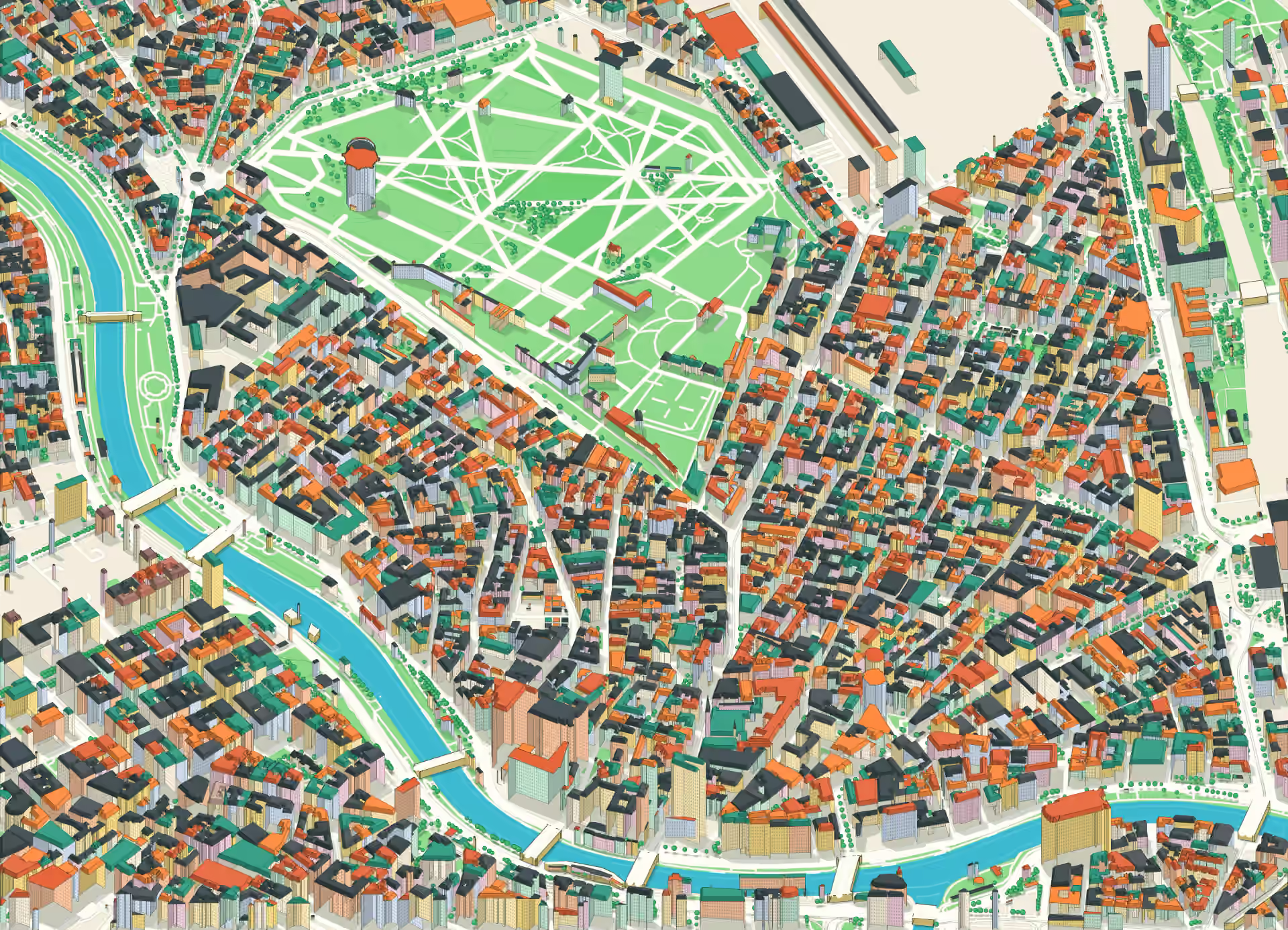
Schools, parks, markets and the U-Bahn near Kastanienhof, each with the minutes on foot from the front door.
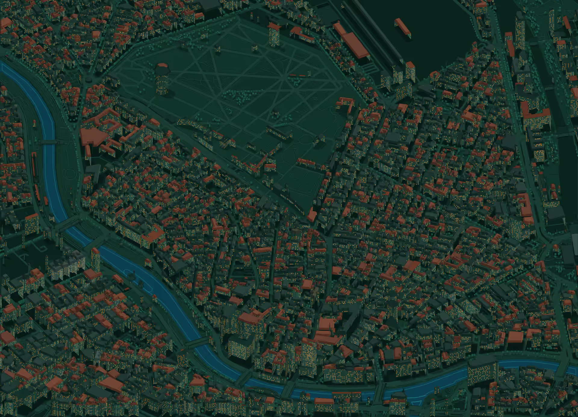
Around Kastanienhof, on the map of the Leopoldstadt
Schools
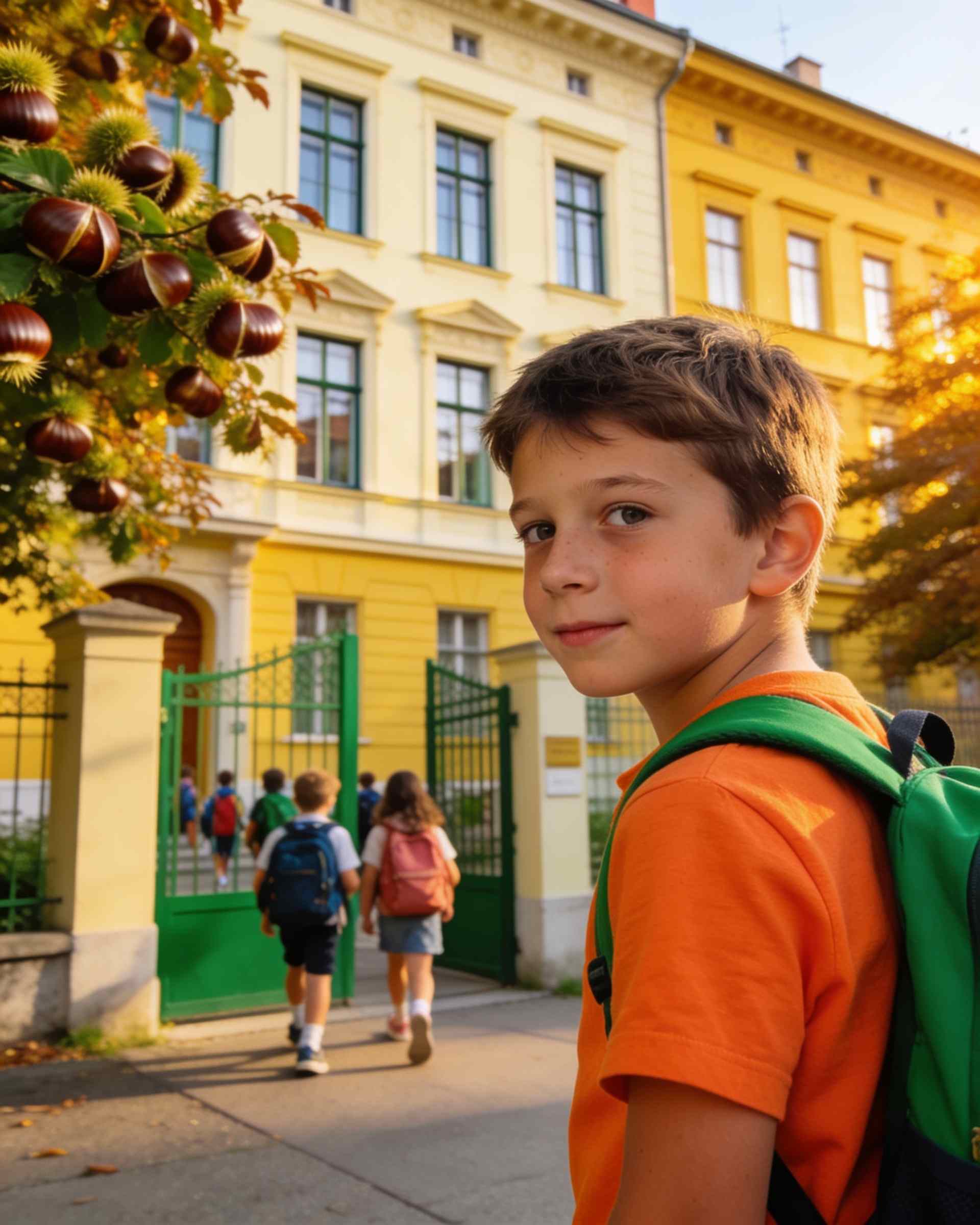
Volksschule Darwingasse
A public primary school a few streets east, on the way to the Volkertmarkt.
5 min on foot from home
Schools
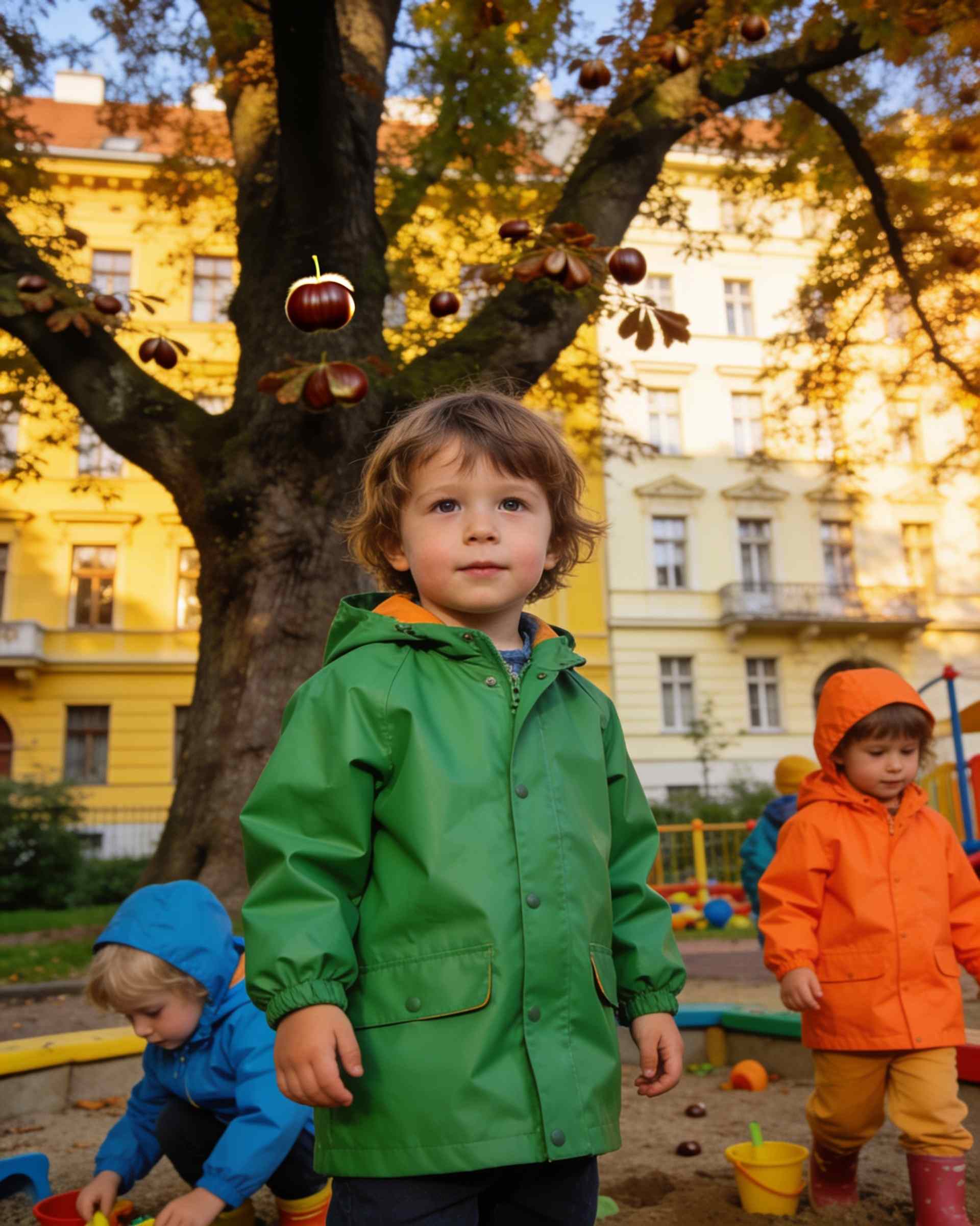
Kindergarten im Augarten
A kindergarten inside the walls of the Augarten, so every morning starts in the park.
8 min on foot from home
Markets
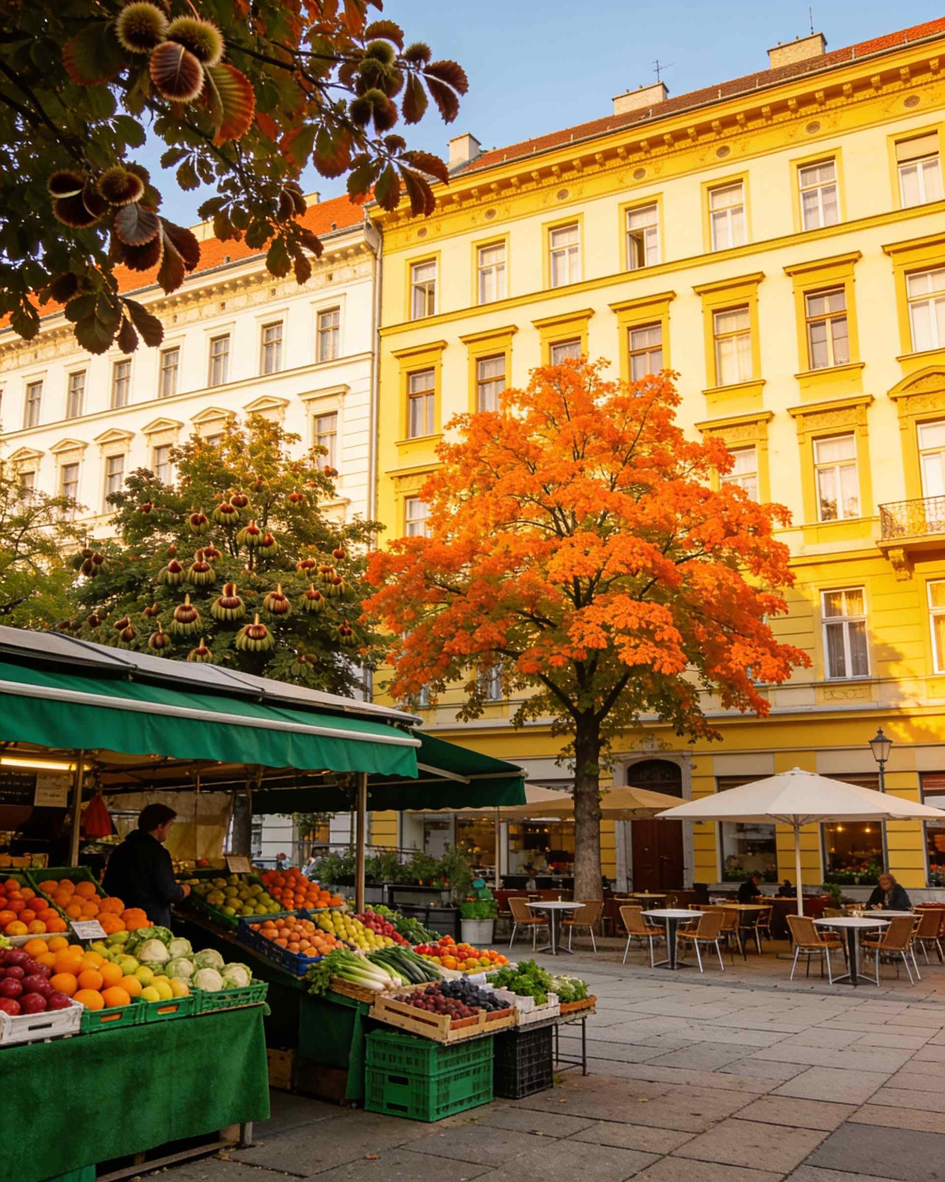
Volkertmarkt
The small market on the Volkertplatz: stalls, cafés on the square and breakfast on Saturdays.
6 min on foot from home
Getting around
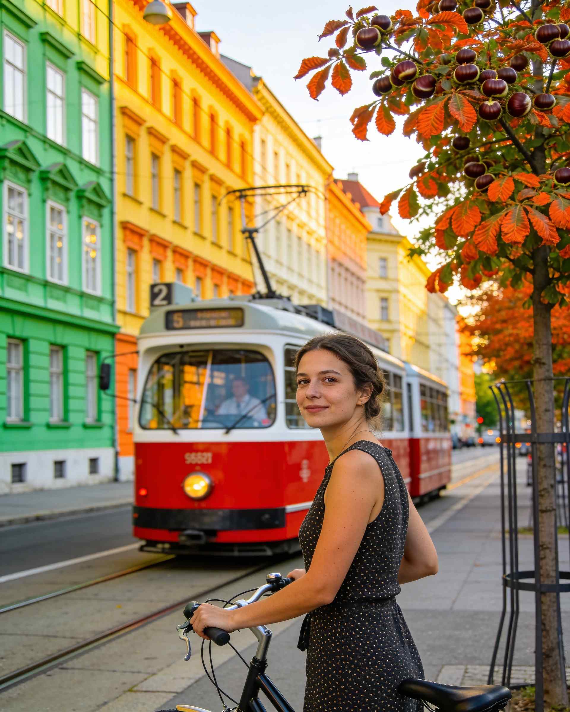
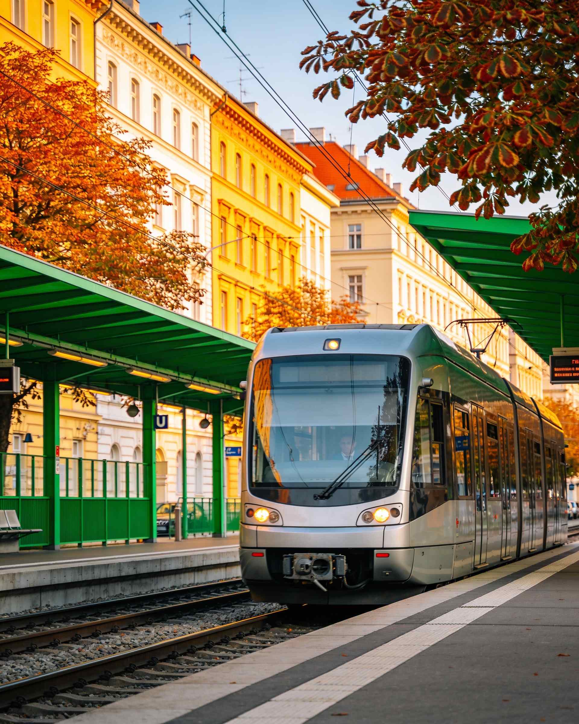
Tram 2, Heinestraße
The nearest tram stop: line 2 along the Taborstraße and over the canal to the Ring.
2 min on foot from home
Parks
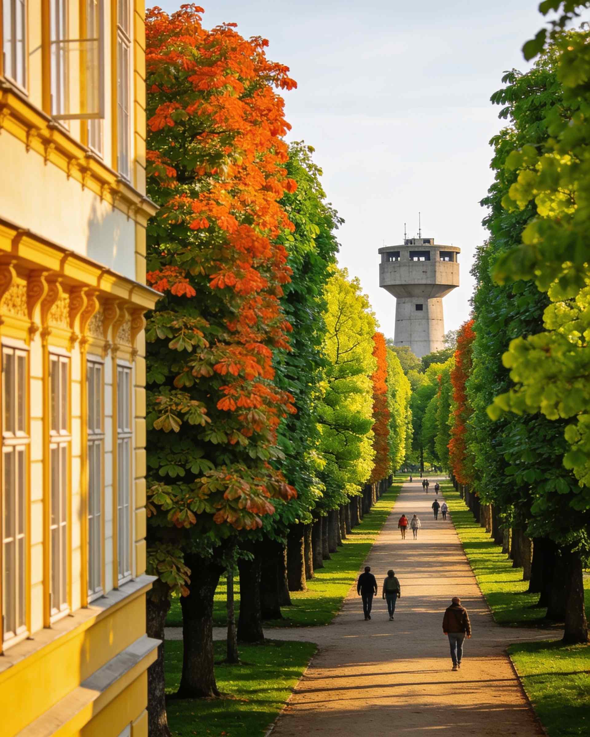
Augarten
The baroque park at the end of the street: avenues of chestnuts and limes, lawns, playing fields and the two flak towers.
10 min on foot from home
Parks
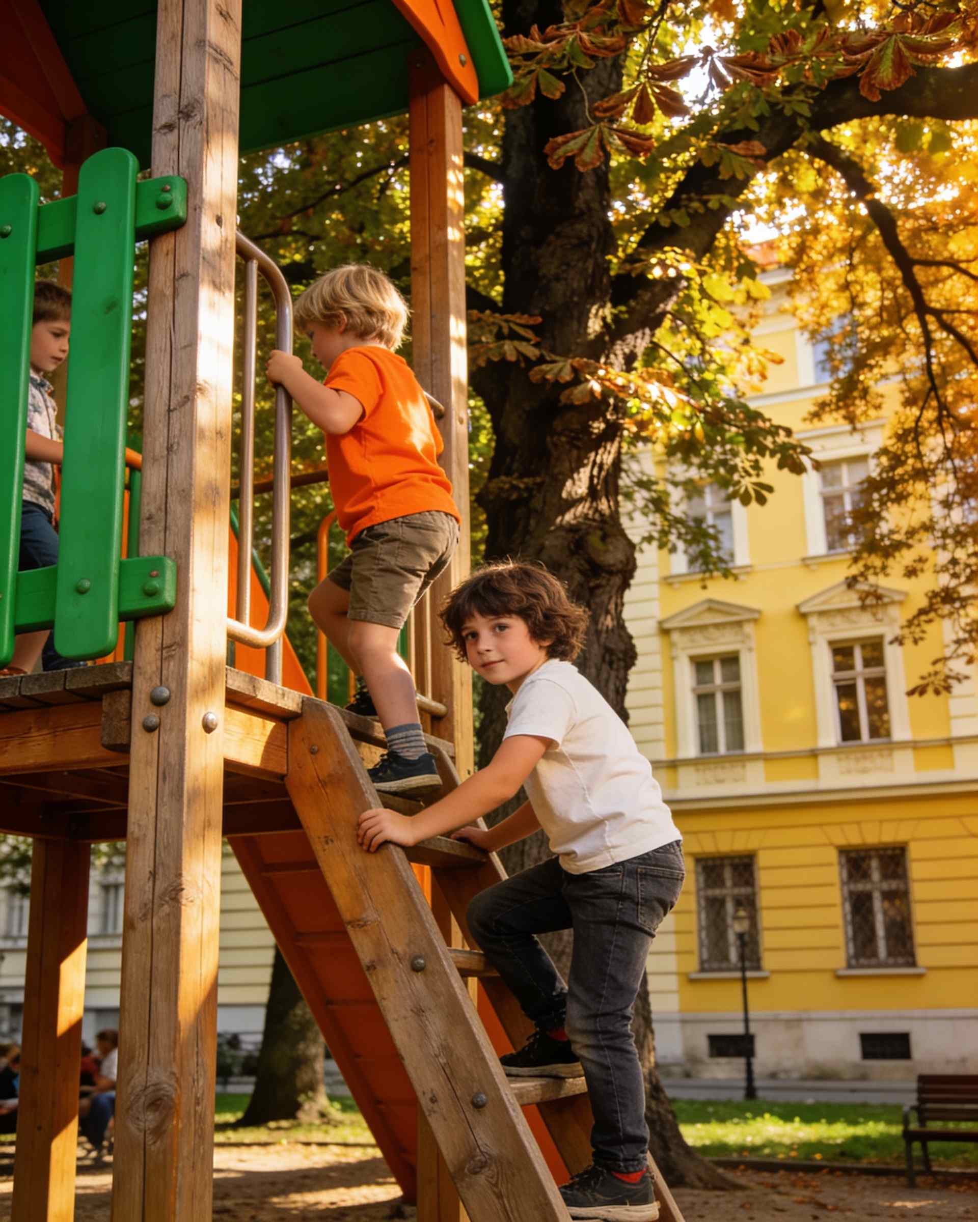
Großer Waldspielplatz
The big playground in the Augarten, under old trees: sand, climbing frames and shade on the hottest days.
11 min on foot from home
Culture
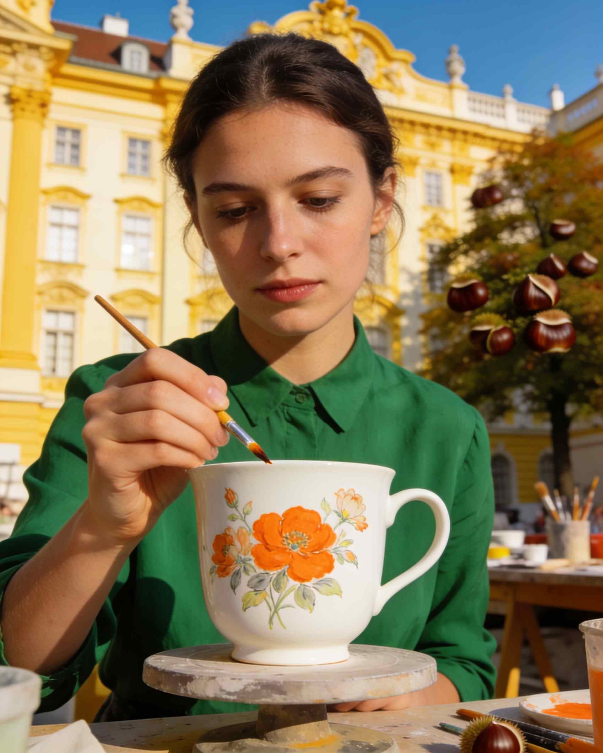
Augarten Porcelain
The porcelain manufactory in the Augarten palace, with its museum and a shop for the good cups.
10 min on foot from home
Culture
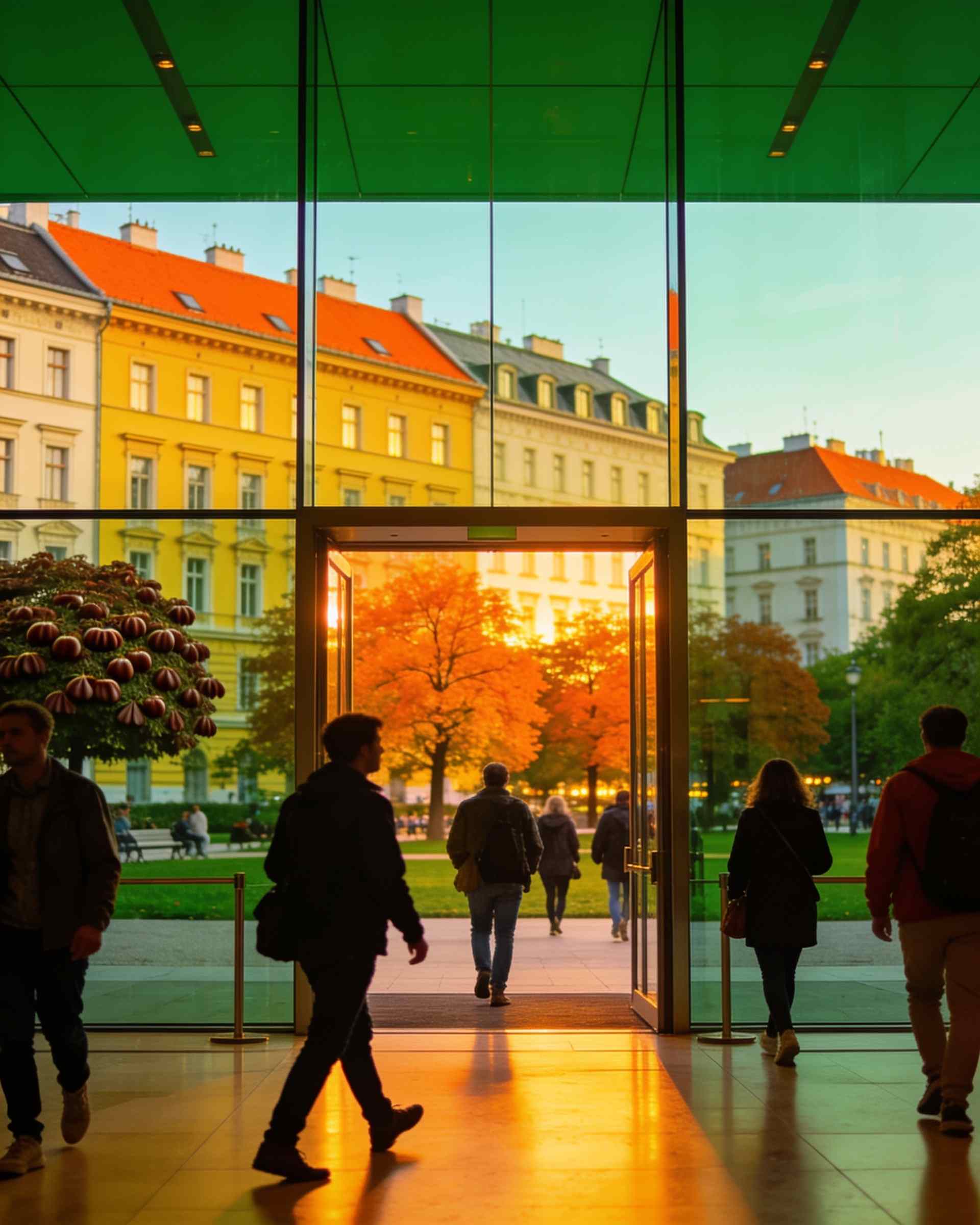
MuTh
The concert hall of the Vienna Boys' Choir at the edge of the Augarten: concerts, theatre and children's shows.
6 min on foot from home
Getting around
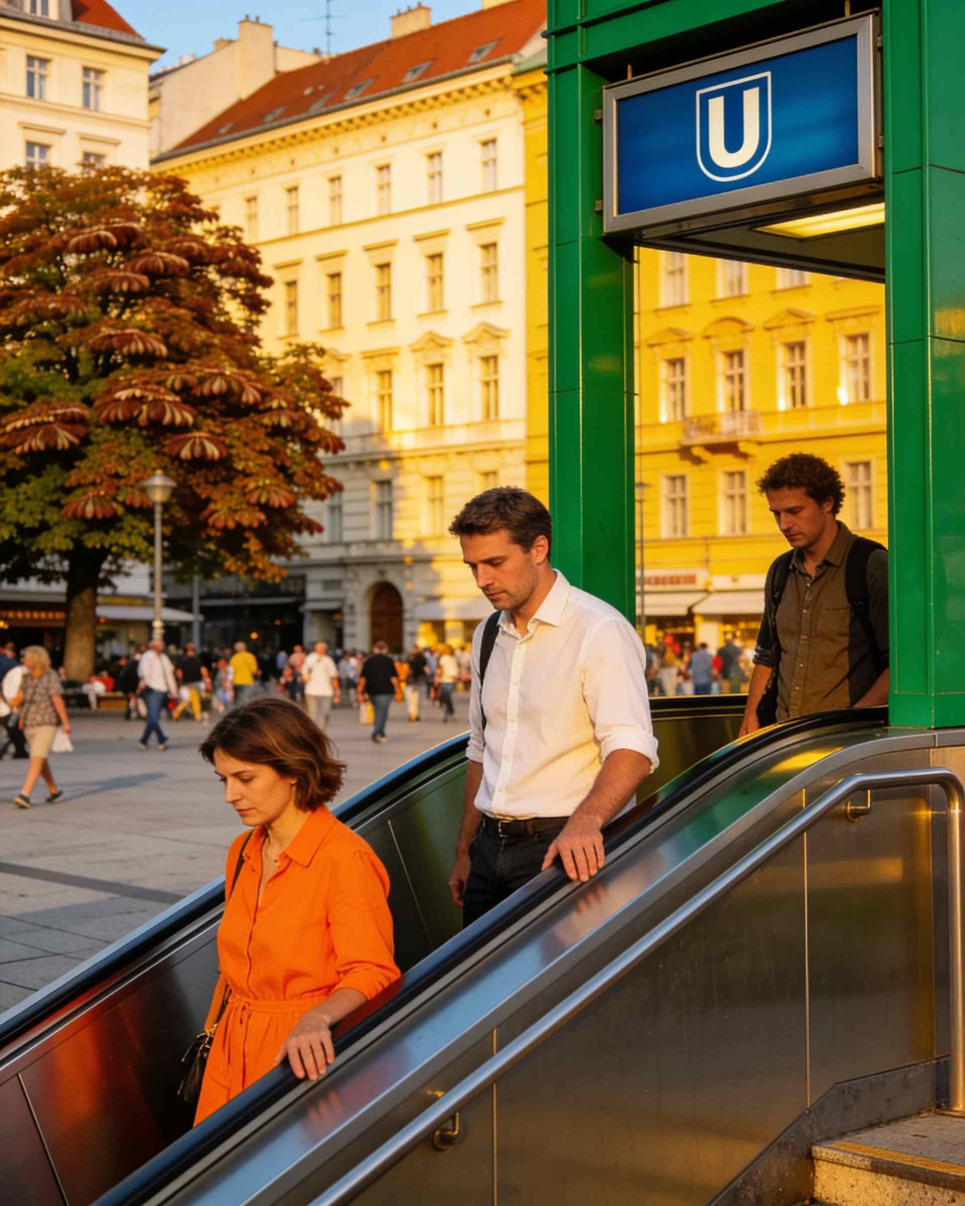
U2 Taborstraße
The U2 under the Taborstraße: two stops to Schottentor and the university, six minutes on foot from home.
5 min on foot from home
Getting around
U1 Nestroyplatz
The U1 at the Nestroyplatz: two stops to Stephansplatz and the middle of the city.
13 min on foot from home
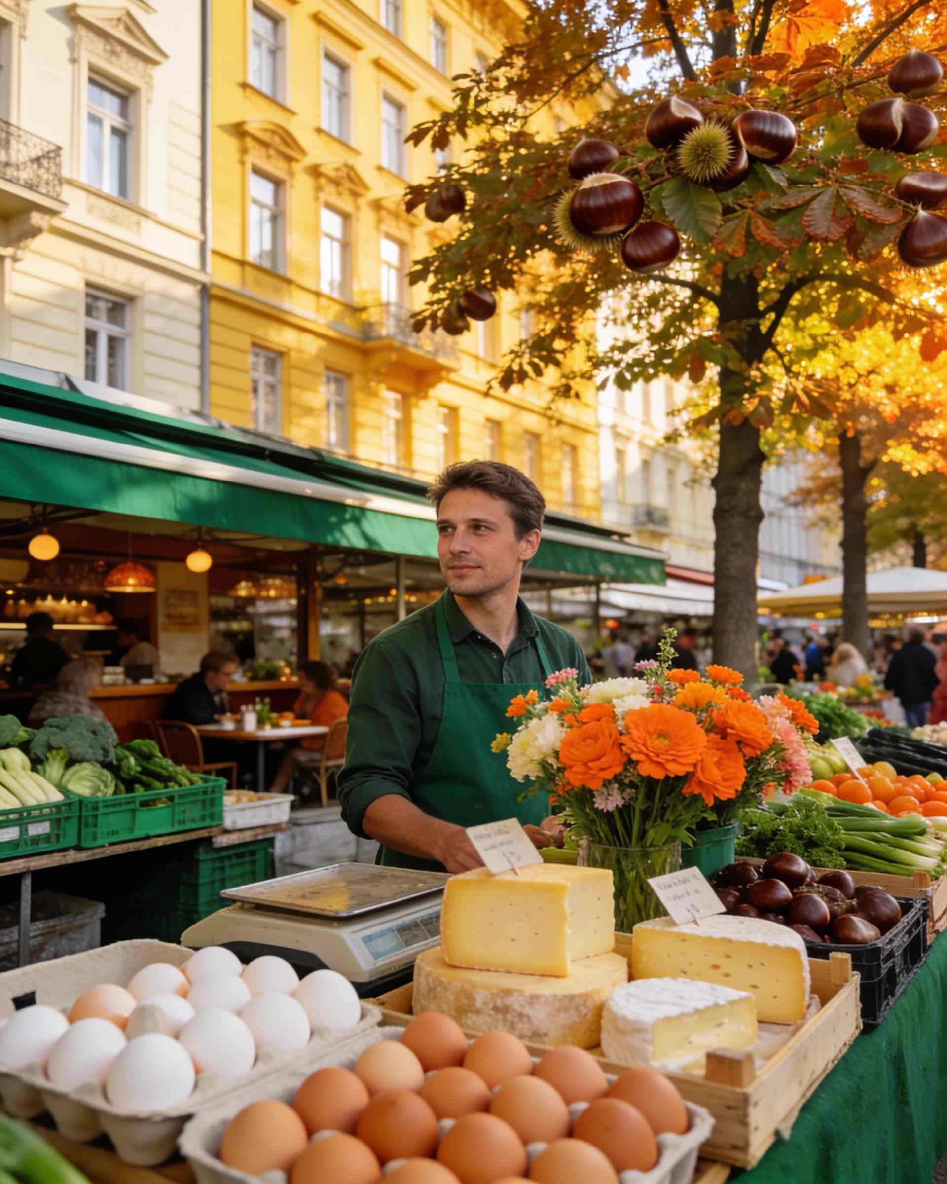
Markets
Karmelitermarkt
The market of the Leopoldstadt: stalls and small restaurants all week, and farmers from the countryside on Saturdays.
11 min on foot from home
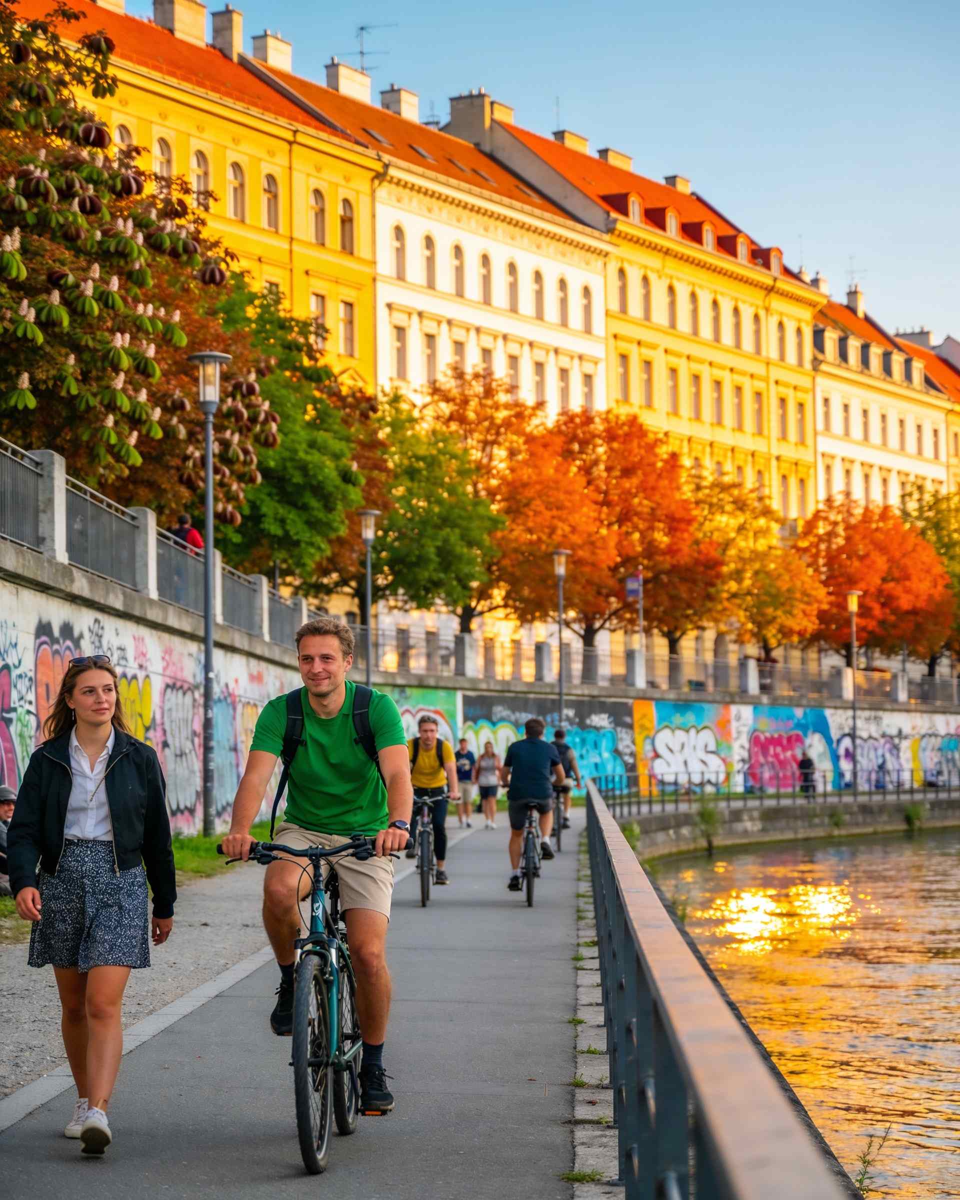
Parks
Danube Canal
The promenade along the Danube Canal: running and cycling paths, and bars on the water on summer evenings.
20 min on foot from home